Dahab is a small town situated on the southeastern coast of the Sinai Peninsula in Egypt. It’s known for its picturesque beaches, clear blue waters, and relaxed atmosphere. Historically, Dahab was a Bedouin fishing village, but it has transformed into a popular destination for tourists seeking a more laid-back and peaceful alternative to the bustling resort towns of Sharm El Sheikh and Hurghada.
Here are a few highlights and features of Dahab:
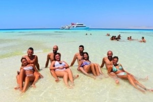
Beaches: Dahab is famous for its beautiful beaches, particularly the Blue Hole and Lighthouse Beach. The Blue Hole is a renowned diving spot with a deep underwater sinkhole that attracts divers from around the world.
Diving and Snorkeling: The Red Sea off the coast of Dahab offers fantastic opportunities for diving and snorkeling due to its vibrant coral reefs and diverse marine life. In addition to the Blue Hole, sites like the Canyon and the Islands are popular among divers.
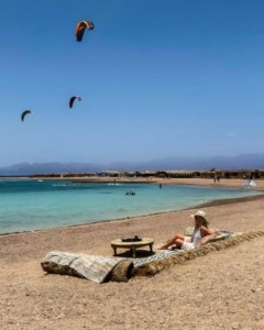
Windsurfing and Kitesurfing: The consistent winds and calm waters make Dahab a great spot for windsurfing and kitesurfing. The shallow waters of Dahab’s lagoon are particularly suitable for beginners.
Relaxed Atmosphere: Unlike the more commercialized resort towns, Dahab has a more laid-back and bohemian vibe. Visitors often enjoy the relaxed atmosphere and slower pace of life here.
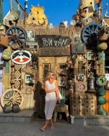
Local Culture: While Dahab has become a tourist destination, it still retains elements of its Bedouin heritage. You can explore local markets, interact with Bedouin communities, and learn about their traditional way of life.
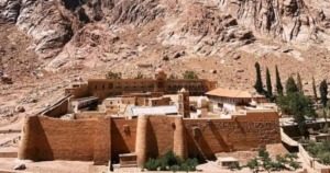
Mount Sinai:
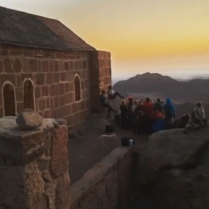
While not directly in Dahab, nearby Mount Sinai (also known as Jebel Musa) is a popular destination for those interested in hiking and religious history. It’s believed to be the mountain where Moses received the Ten Commandments.
Restaurants and Cafes: Dahab offers a variety of dining options, with numerous beachfront restaurants and cafes where you can enjoy both local and international cuisine.
Accommodation: Accommodation options in Dahab range from budget-friendly hostels to upscale beach resorts. Many places offer stunning views of the Red Sea.
If you willing to visit this beautiful city one day you can check this link here for more details and offers